Car insurance

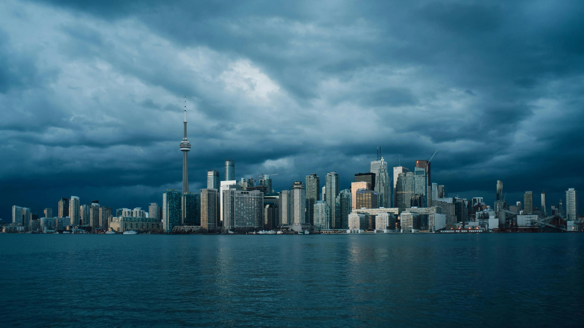
Flooding in Ontario is becoming more frequent and severe, especially as extreme weather events occur and infrastructure in some communities struggles to keep up. While flooding can happen almost anywhere, certain cities in Ontario face a higher risk than others.
This list is based on the Flood Risk Canada map, published by Western University and the Institute for Catastrophic Loss Reduction. This interactive map indicates that these cities (or specific areas within them) are at high or extreme risk of annual flooding over the next 25 years:
Key takeaways
Flooding in Ontario is becoming more common due to extreme weather, urban development, and climate change. This guide shows which Ontario cities are the most flood-prone, how to check your home’s flood risk, and how to prepare for a flood.
While the list above of Ontario cities at high or extreme risk of flooding can be a helpful starting point, flood risk can vary depending on your exact location within a city.
Follow these steps to find out whether your home is at low, moderate, high, or extreme risk of flooding:
Knowing your exact flood risk can help you choose the best tenant, condo, or homeowners insurance and avoid surprises down the road.
Ontario flooding is typically caused by one of three main factors: extreme weather, urbanization, and climate change.
Ontario often experiences extreme weather events that can quickly lead to flooding. Heavy rainfall is the most common trigger, especially when storms dump more water on the ground than rivers can handle. Rapid snowmelt is another major culprit, such as when spring temperatures rise too fast, and all the snow melts at once. In such cases, local waterways can be overwhelmed.
According to the Toronto and Region Conservation Authority, “When rain falls, or when snow melts, the water either infiltrates the soil or becomes surface flow (also known as runoff). Surface flow rapidly travels overland and through storm sewers, reaching watercourses and causing water levels within the rivers to rise quickly.”
Urban development can worsen flooding, particularly in large cities like Toronto, Ottawa, and Mississauga. Paved surfaces such as roads, sidewalks, and parking lots prevent water from soaking into the ground, forcing excess rainwater into storm drains that can become overwhelmed, leading to street and basement flooding. Add aging infrastructure in the mix, and the problem gets worse.
In an article for the National Observer, Sarah Buchanan of Toronto Environmental Alliance explained, “The primary contributors to urban flooding include extensive paved surfaces that prevent water absorption into the ground. Nearly a quarter of Toronto’s land area consists of paved streets, with significant off-street parking exacerbating the issue.”
Ontario is experiencing more extreme rainstorms, more frequent freeze-thaw cycles, and warmer winters, which increase runoff and strain drainage systems.
As the Canadian Climate Institute explains, “Warmer air holds more moisture, leading to heavier rainfall and more intense storms. This, combined with melting snow packs, rising sea levels, and changing weather patterns, has created the conditions for more severe and unpredictable flooding.”
Ontario has experienced several devastating floods over the past century. A few of the worst recorded floods include:
Hurricane Hazel was the deadliest flood in Ontario’s history. On October 15, 1954, more than 200mm of rain fell within just 24 hours, causing the Humber and Don rivers to overflow their banks. Homes and infrastructure were destroyed, leaving 1,868 families homeless and 81 dead.
On May 16, 1986, a catastrophic ice break on the Winisk River sent huge chunks of ice downstream, washing away the entire community of Winisk in Northern Ontario. Only two buildings remained after the surge, and this destruction forced residents to relocate 30km inland.
On July 8, 2013, a sudden, intense rainstorm brought 126mm of rain, making it one of Toronto’s wettest days in history. It caused power outages, stranded commuters, and led to many basement floods.
Historic floods across the Ottawa River brought more than 9,000 cubic meters per second in river overflow, an unprecedented level in the past century. These floods caused widespread states of emergency in Eastern Ontario and Quebec, with thousands of residents evacuated and hundreds of homes destroyed.
Flooding can happen quickly, and being prepared can make a huge difference in protecting your home and belongings. Informed by guidance from Flood Risk Canada, here are some steps you can take to prepare for a flood.
No matter where you live, preparing the following can help you stay organized and ready to respond:
If flooding isn’t common in your area but still possible, these preventative steps can help reduce damage and long-term costs:
If flooding is a frequent or serious concern, consider implementing these more robust measures:
YouSet is a technology-driven insurance platform that simplifies buying and renewing insurance. Combining proprietary technology and the support of AMF and RIBO licensed brokers, we’re making it faster and easier to buy home and car insurance online from top insurers for less.





Our algorithms do the hard work comparing policies and prices from Canada’s top providers.